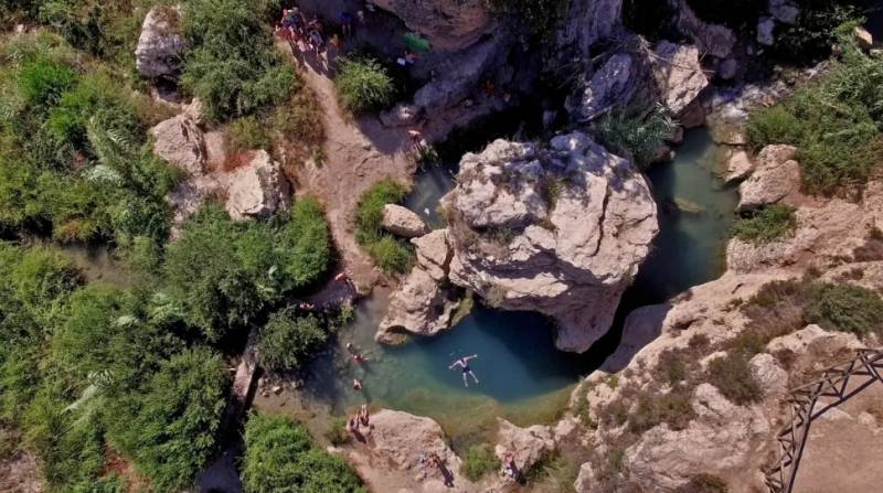

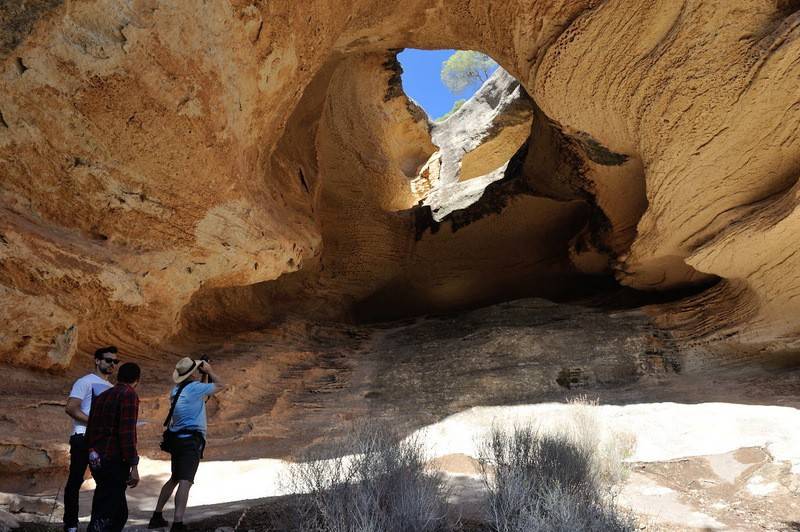


Moratalla is the most north-westerly municipality in the Region of Murcia and is renowned for its outstanding natural scenery, pine forests and open unspoilt beauty.
It also houses some of the most important prehistoric rock paintings within the region, with sites such as Cañaica del Calar, Fuente del Sabuco, Molino de Capel, Andragulla, La Risca and El Molino containing more than 50% of those known in the Region of Murcia. Information about these can be found in the Casa de Cristo in the interpretation centre for rock art.

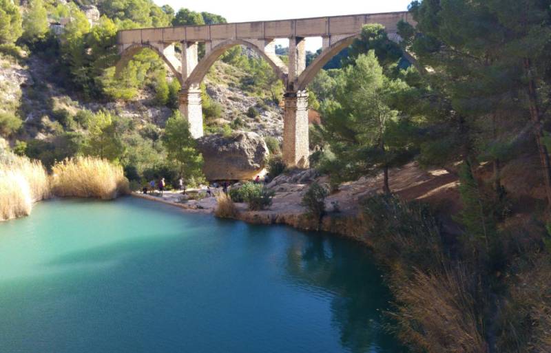
Throughout its 10,000-year history, Moratalla has been occupied by a series of cultures, its abundant water and mountainous terrain offering water and shelter for prehistoric hunters from the dawn of history to the era of the Iberians, when several settlements were known to exist. The Romans farmed this area and the remains of villas have been discovered at Ulea, Los Granadicos,Andrevía and Víllora, and mined sulphur from the site of the old volcano of Salmerón, one of their most important remains being a bridge, the Puente de Hellín, crossing the River Alhárabe.

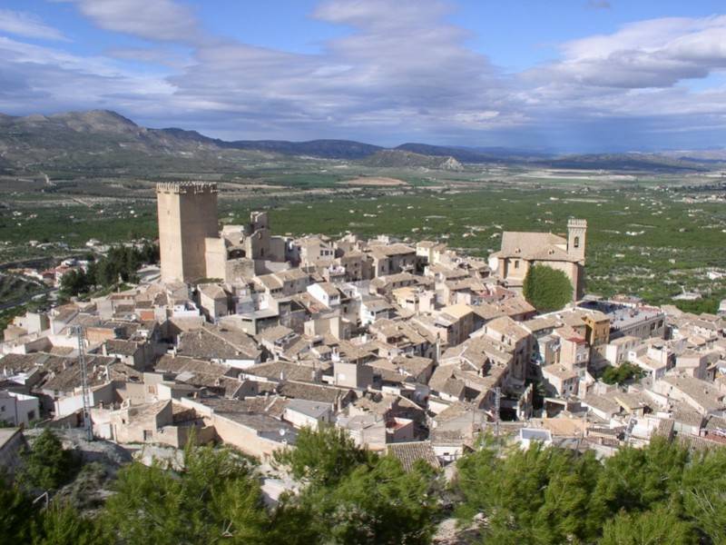
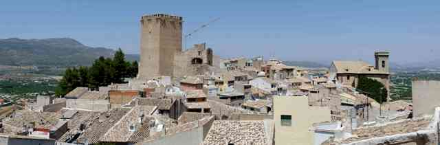
The Moorish invaders who followed the Romans built castles and watchtowers in the municipality and as the Moors were followed by the Christian armies of the Reconquista the castle of Moratalla and its tower, the Torre del Homenaje, which dominates the skyline of the town today, took its current form and gave the town the structure it still maintains today.

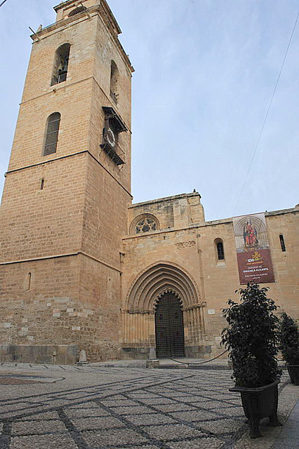
Moratalla has an atmospheric and complete old quarter, winding streets clustered around the foot of the castle, as well as Casas Señoriales, the noble homes of local landowners, and the baroque churches of the Convento de San Francisco and the Iglesia de la Asunción. All of these create an intimate, small town atmosphere
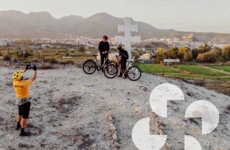
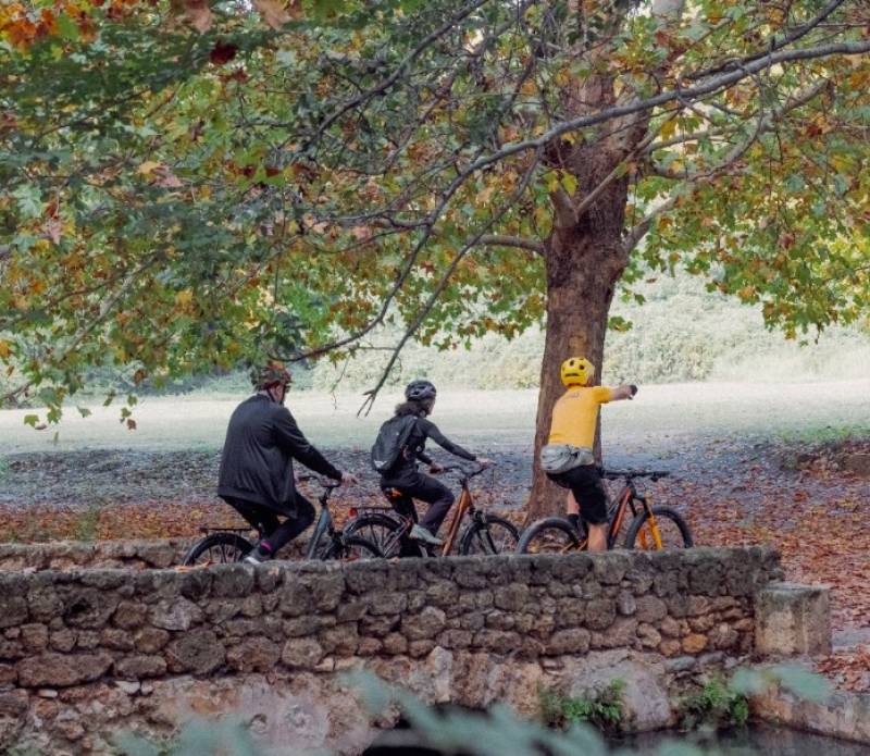
Its principal economic activity is agriculture, producing almonds, olives, wheat and irrigated soft fruit crops, including apricots and cherries, although rural tourism is also an important activity, with a well supported campsite and many rural houses servicing those who enjoy walking and outdoor pursuits in the area. Regular walks are held throughout the year, organised in conjunction with the tourist office.

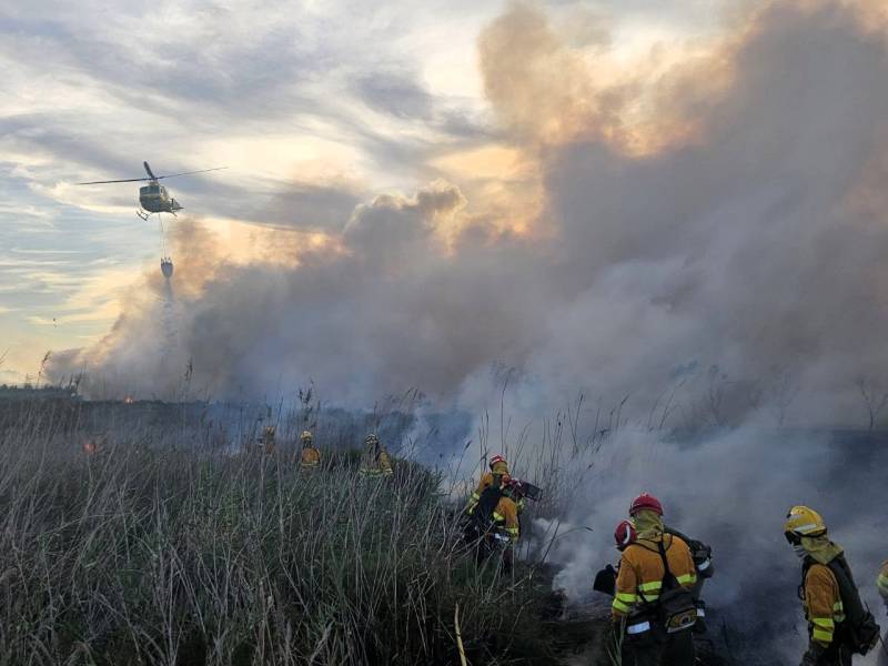
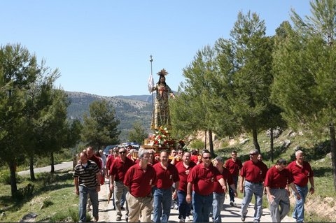
The most important fiestas are those of Semana Santa, which includes the Fiesta del Tambor, in which the drummers fill the streets with noise and colour on Maundy Thursday, Good Friday and Resurrection Sunday, wearing distinctive multi-coloured robes and hoods, and the Fiesta del Santísimo Cristo del Rayo, which includes several days of encierros, or bullrunning. Moratalla is colder than other municipalities in the winter as it is higher, and Campo de San Juan and Casa de Cristo, high up above the main town, are normally the first to catch any winter snow that falls in the Region.

Moratalla is in the north-west of the Region of Murcia, accessed via the Autovia del Noroeste from Murcia to Caravaca de la Cruz.
To the north and west it borders the province of Albacete, to the east is Calasparra, and to the south, Caravaca de la Cruz and Cehegín. See map above.
Use the search titles below for more information about specific subjects in Moratalla, or to go the north-west section of Murcia Today, which contains what’s on, local news and community information and can be accessed via the map box at the bottom of every page.